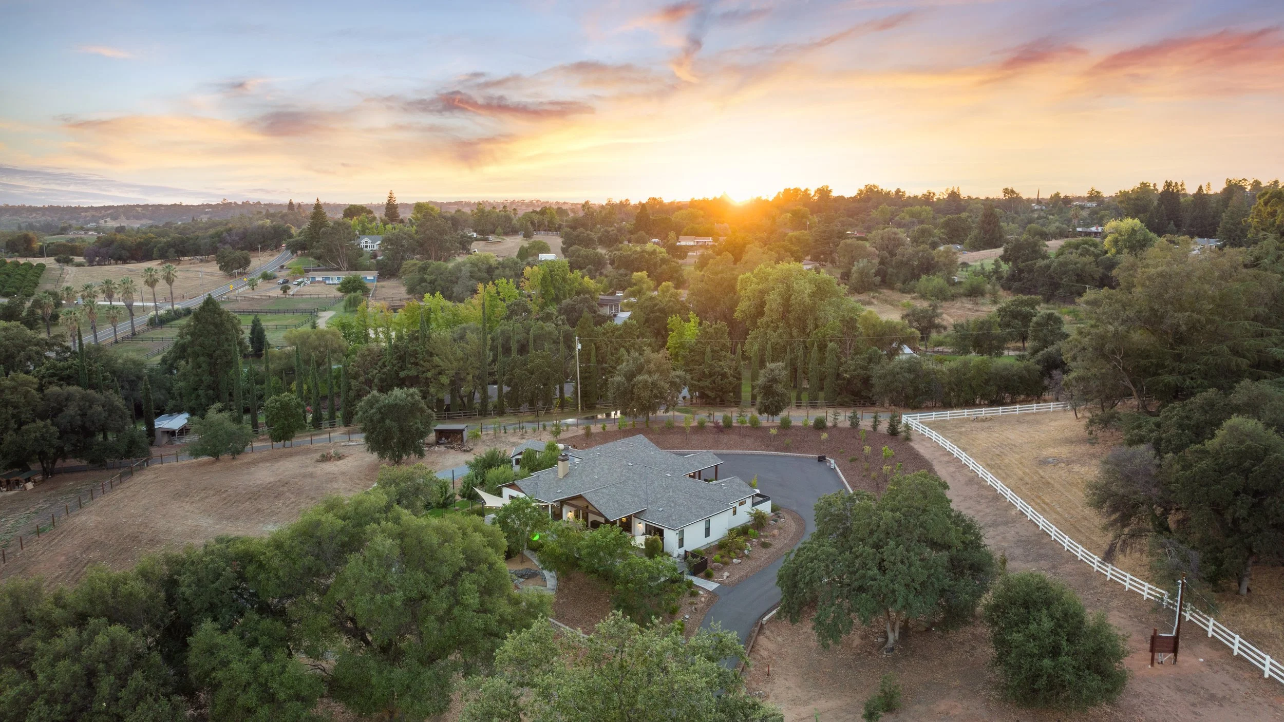
Aerial coverage is most useful when every image answers a question. For acreage in Loomis or Auburn, an estate in Granite Bay, or a property with several outdoor features, a drone shot list should explain relationships the buyer cannot see from one ground-level position.
Start with the home in its setting
Ask for a view that makes the house recognizable while showing the immediate yard. This often provides a stronger opening than a distant image dominated by rooftops or surrounding land. The property should remain the subject.
Then identify the next question. Is the garage detached? How does the driveway approach the home? Where does the patio sit relative to the pool? Use those answers to plan coverage instead of asking for several nearly identical heights.
Build a purposeful sequence
- Identity: Show the main residence with enough context to orient the viewer.
- Layout: Explain the relationship between the house, outbuildings, and principal outdoor areas.
- Access: Show the approach when it is relevant and can be captured appropriately.
- Lifestyle feature: Highlight a usable yard, garden, patio, or other actual amenity.
- Wider context: Add a broader view only when it supplies meaningful information.
Be precise about land and access
Do not infer property boundaries from fences, tree lines, or a photograph. If you request a parcel overlay, provide verified source information and explain any limitations. A marketing graphic is not a legal survey. The listing agent should also confirm descriptions of easements, access, permitted uses, and improvements through appropriate records.
A beautiful neighboring field or nearby water feature should not be presented as part of the listing. Pair contextual images with accurate captions and descriptions so buyers understand what is included.
Connect aerials to ground-level coverage
After a drone image establishes the pool's position, a ground-level photograph can show the seating and materials. After an aerial identifies an outbuilding, interior coverage can explain its current condition. This pairing gives the gallery a logical flow.
House Cat Marketing can coordinate aerial photos, video, and interior media in one property plan. Share the acreage, structures, and features you want buyers to understand when requesting coverage. Flight options remain subject to the operator's safety, airspace, and weather assessment, so prioritize the story rather than a guaranteed flight route.